Reserve from the case
Shipping Estimate
USA
- USA
- CAN
- USA
- CAN
Ships within 48 hours · Estimated delivery Oct 30 - Nov 4
Reserve from the case
Ships within 48 hours · Estimated delivery Oct 30 - Nov 4
Details include all state highways
Seattle USGS Regional Raised Relief Map
Mackinaw City
- North to the Manatee County line
The NOAA Nautical Chart 11470: Fort Lauderdale Port Everglades is printed on heavy weight acid free paper with the latest Notice to Mariners applied
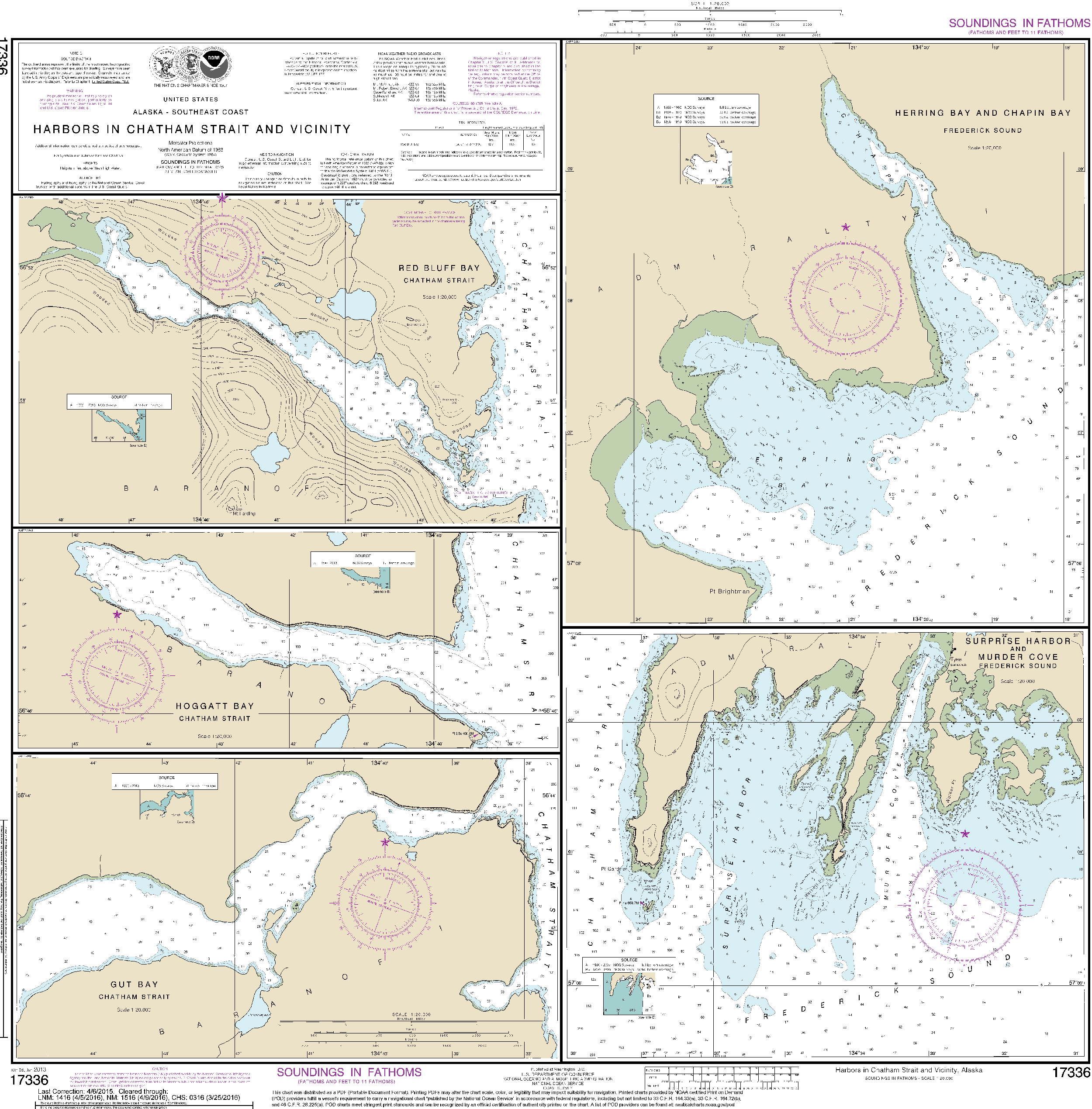
NOAA Nautical Chart 17336: Harbors in Chatham Strait and Vicinity kane Details include all state highwaysNOAA Nautical Chart 17336: Harbors in Chatham Strait and vicinity Gut Bay, Chatham Strait; Hoggatt Bay, Chatham Strait; Red Bluff Bay, Chatham Strait; Herring Bay and Chapin Bay, Frederick Sound; Surprise Harbor, and Murder Cove, Frederick Sound The chart you are viewing is NOT updated weekly and does NOT include all of the latest Notice to Mariners corrections.


Pay in 4 interest-free payments of $6.74 Learn more