Reserve from the case
Shipping Estimate
USA
- USA
- CAN
- USA
- CAN
Ships within 48 hours · Estimated delivery Oct 12 - Oct 17
Reserve from the case
Ships within 48 hours · Estimated delivery Oct 12 - Oct 17
shipping routes and water currents are all clearly visible
The NOAA Nautical Chart 14913: Grand Traverse Bay to Little Traverse Bay
The NOAA Nautical Chart 18584: Umpqua River Pacific Ocean to Reedsport is printed on heavy weight acid free paper with the latest Notice to Mariners applied
Railed: Black plastic framing rails are added on the top and bottom of your Laminated map for easy wall mounting
the handcrafted map comes to life
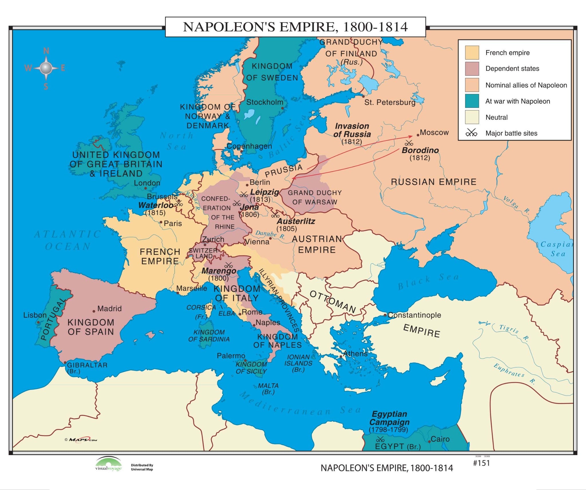
#151 Napoleon's Empire, 1800-1814 14863 shipping routes and water currentsNapoleon's Empire, 1800 1814 identifies the French Empire, dependent states, nominal allies of Napoleon, areas at war with Napoleon, neutral areas, and major battle sites.


Pay in 4 interest-free payments of $20.00 Learn more