
Reserve from the case
Shipping Estimate
USA
- USA
- CAN
- USA
- CAN
Ships within 48 hours · Estimated delivery Oct 20 - Oct 25
Reserve from the case
Ships within 48 hours · Estimated delivery Oct 20 - Oct 25
When the internal light source is activated
with new streets and changes in complete street detail at a scale of 1" = 3292'
Intermediate Thematic Wall Maps feature a historical timeline and elevation profile
measures 74 by 53 inches
The area of coverage includes all of Seminole County
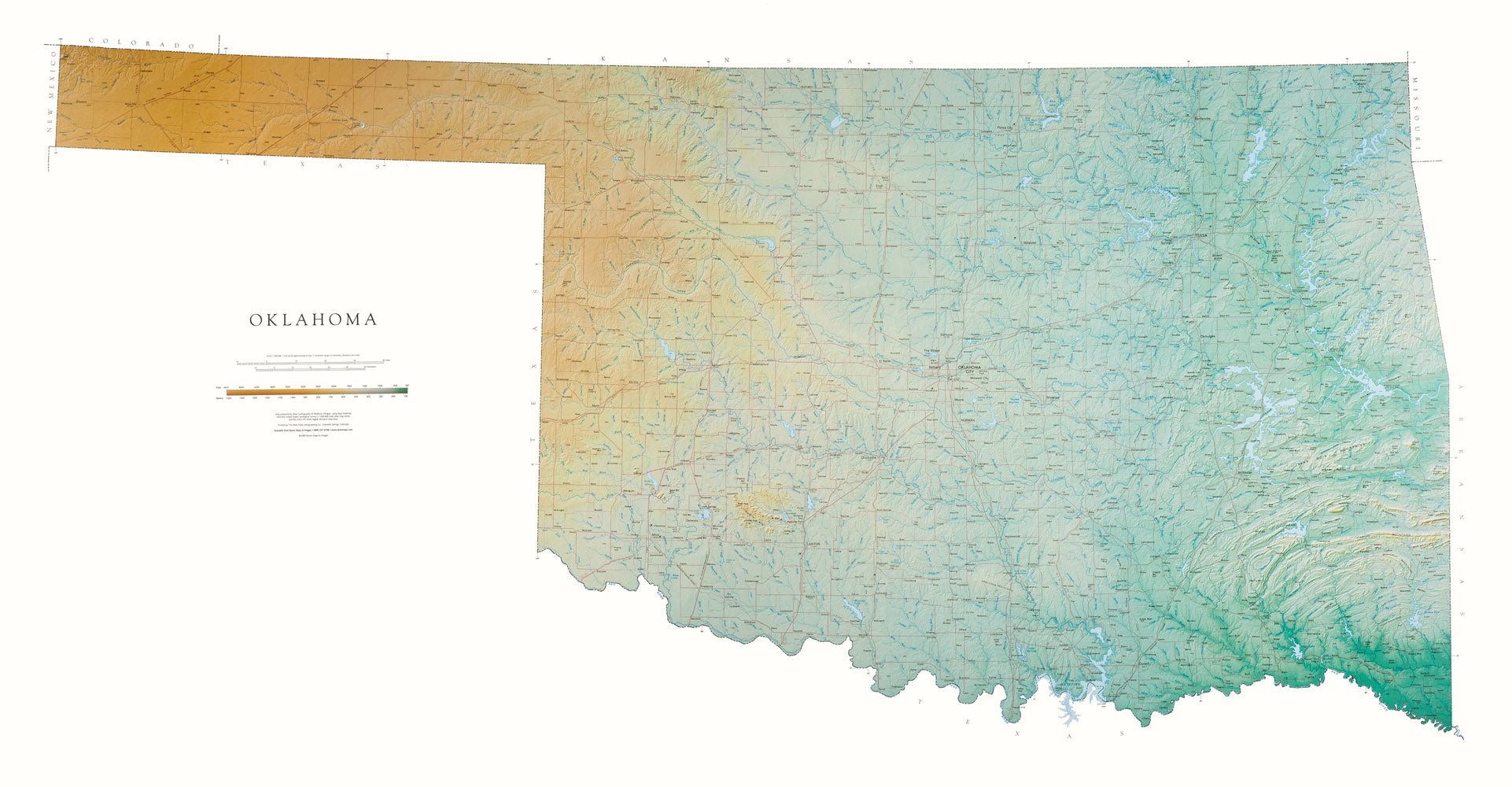
Oklahoma Topographical Wall Map by Raven Maps, 35" x 67" Paper Type:Paper When the internal light sourceOklahoma Topographical Wall Map by Raven Maps, 35" x 67" Raven Maps, Some of the Most Beautiful Maps Available! Maps must be accurate, but they should also be beautiful. Raven's state wall maps were prepared using base materials originally produced by the U. S. Geological Survey (USGS) for their definitive 1: 250,000 scale topographic map series. These extremely detailed bases identify thousands of features, such as even minor lakes and streams


Pay in 4 interest-free payments of $12.49 Learn more


